3CRS - Community-Driven Coastal Climate Research & Solutions
3CRS Research Associate Sol Cooperdock explains how water level sensors can be used to detect floods.
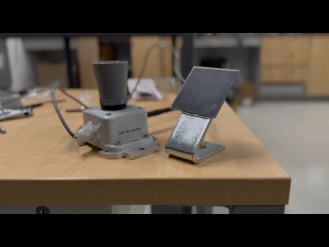
RT6 designs and installs low-cost, real-time water-level sensors in each pilot community. These sensors capture flooding as it happens—at the neighborhood scale—so residents and emergency officials can see conditions in real time.
The data from this network helps improve local flood awareness, supports environmental monitoring, and strengthens forecasting tools like CHAMP and the NE-SCHISM model. By putting high-quality data directly into community hands, RT6 empowers local decision-making and increases preparedness for flood events.